Elevation differences
There are times at work when I can no longer look at PowerPoints and need a break. During one of these breaks I downloaded the GPX files for the three Triple Crown of Moab races I signed up for. I noticed some differences with elevation gain/loss across different platforms.
Dead Horse
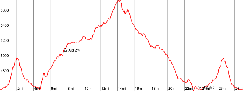
The difference is only 800 feet, so who really cares.
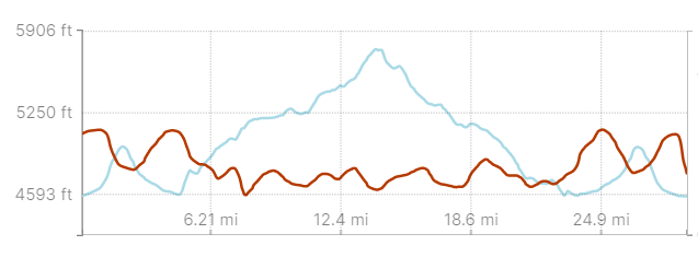
Arches
About the same, so that’s cool.
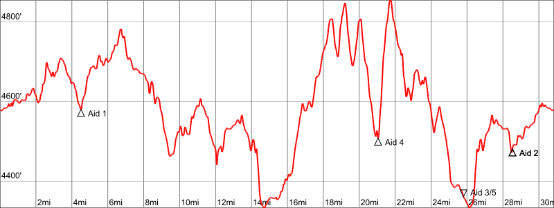
Behind the Rocks
This is where it got interesting…

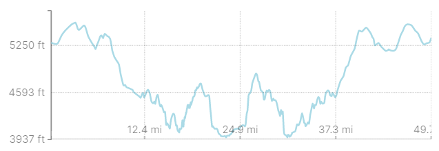
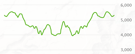
What. The. Fuck. Seriously. How is there such a huge discrepancy between the three?! If Garmin is right, that’s awesome! If Gaia is right, I will have to train way harder than I anticipated. Since I am getting my master’s in GIS, I decided to use my mad skills to calculate the elevation gain/loss in ArcGIS Pro. And by mad skills I mean I Googled my way through it and learned a thing or two.
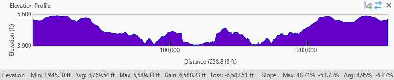
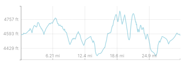
I used a digital elevation model (DEM) from the Utah Geospatial Resource Center and the GPX track from the race website. I trust the accuracy of the DEM, so I trust the ArcGIS results. About 6,600 feet of elevation gain ain’t bad! It made me feel so much better, and it means that Caltopo is the probably the most accurate out of all the mapping apps I use.
That is all.
Training Journal caltopo exercise fitness gaiagps garmin gis journal running strength trail running training
Christina View All →
Emerging GIS professional exploring conservation, coding, and the outdoors. Trail runner and backcountry adventurer.
