Commentary: I managed to do one run (yay me) before my biggest trip of the year – the Wind River High Route. As soon as I learned about the WRHR I wanted to do it. My friend, Dennis, had already tried to it twice. Both times he and his hiking buddies called it quits a few days in. This year was going to be different. This year he was going to finish it, and I was going to do it with him.
The WRHR is not easy. About half of the route is off trail. This cross country hiking is hard because it’s up to you to find the best path from Point A to Point B. Much of the terrain is also very rugged, which makes for slow travel. The majority of the route is also above 10,000 feet, so the altitude can take a toll on hikers as well.
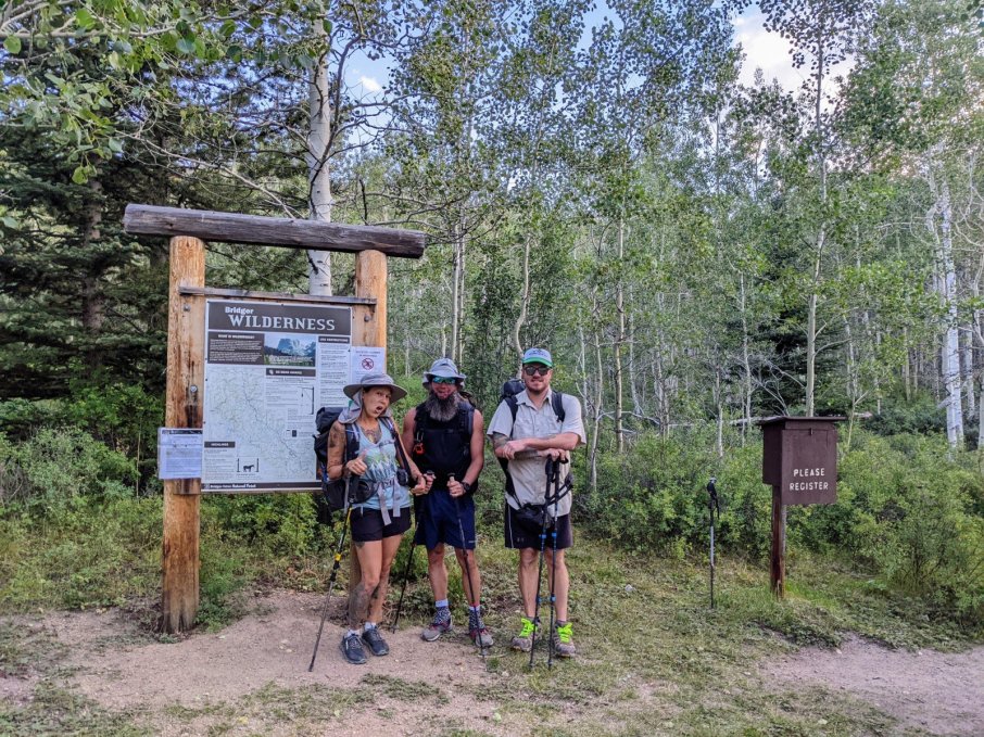
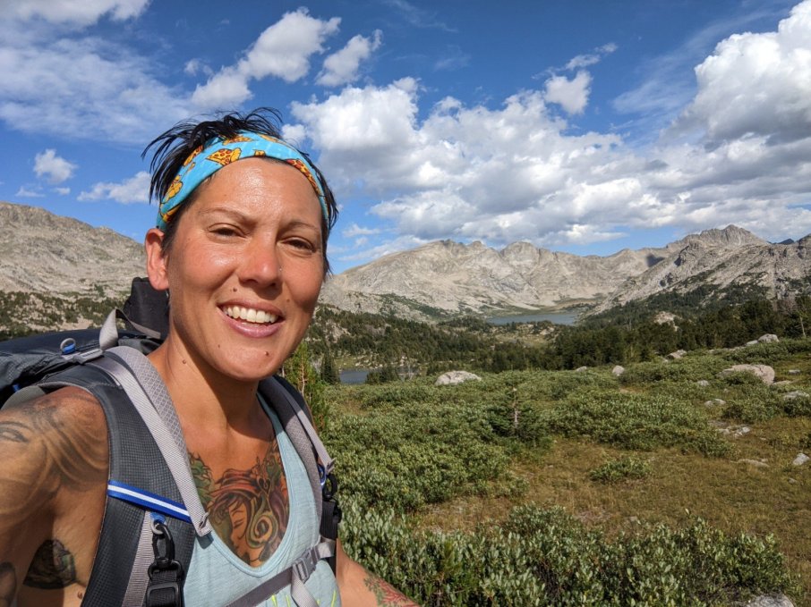
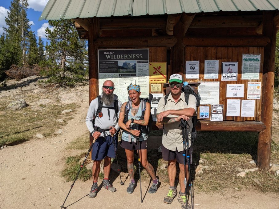
So fresh and ready for adventure!
My amazing and wonderful husband offered to be our shuttle driver. Thursday night he drove us to the trailhead where we camped for the night. At 8am, Dennis, Carl and I started our journey. Our goal was to finish in nine days, which seemed like no problem at the time.
While I would love to go into great detail about our trip, not only would it take pages, but most of it cannot be described with words. Still here is a brief summary:
Nine days, 94 miles, and 20k feet of elevation gain. It was epic! There was cold rain that almost made us hypothermic, hail while on exposed ridges, wind that nearly knocked us over, and thankfully, some warm sunshine. We went up and down steep mountain passes, hiked past gorgeous lakes, and woke up to breathtaking landscapes. The boulder hopping wore out our shoes, the wind and sun burned our faces, and the rain made our socks stink like you wouldn’t believe! By the end we were all gagging on our B.O. and sock stench. This trip is definitely in my top five. I’d probably even do it again!
Carl recorded our trip as one continuous route on his Garmin.
Now please enjoy the plethora of pictures that don’t even come close to representing the beauty we saw on our trip.
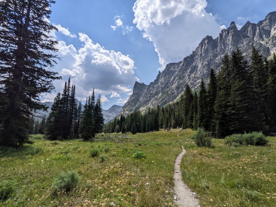
Day 1
The first day! We enjoyed the relative flatness of the trail.
Our first campsite! We got our tents up just in time for the rain to start. Thankfully, the rain didn’t last long.
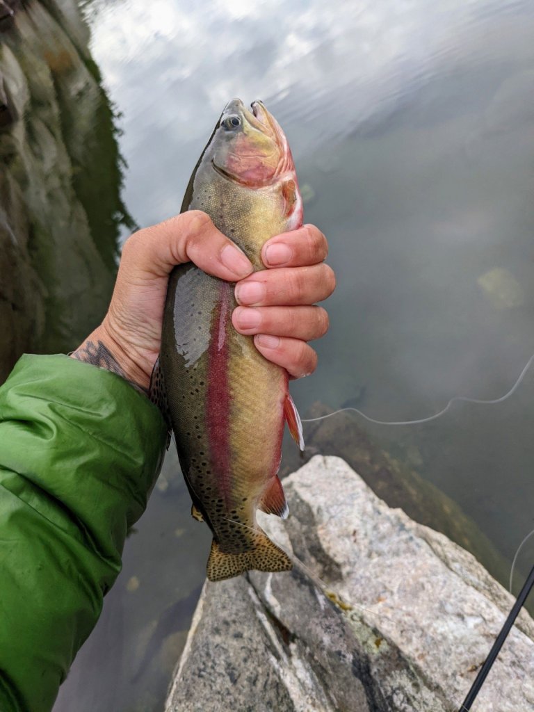
I debated whether the weight of my fishing role and reel would be worth it. After the first night, I knew I made the right decision.
Day 2
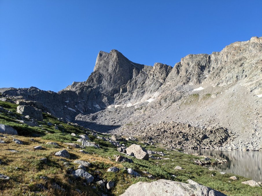
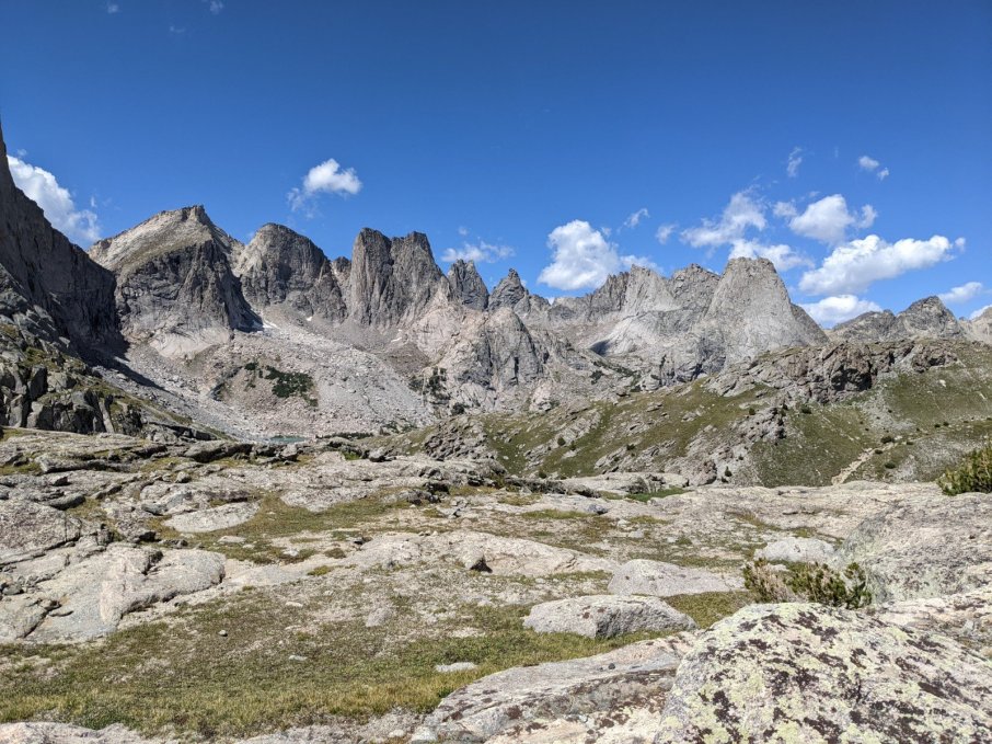
Mountains, mountains, everywhere!
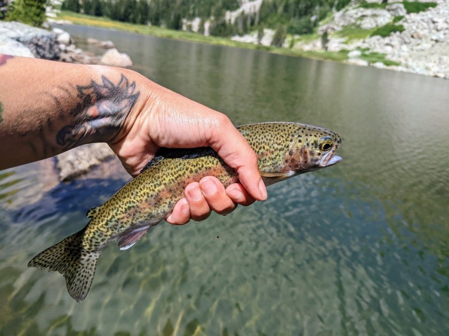
I got in a little fishing during our lunch break.
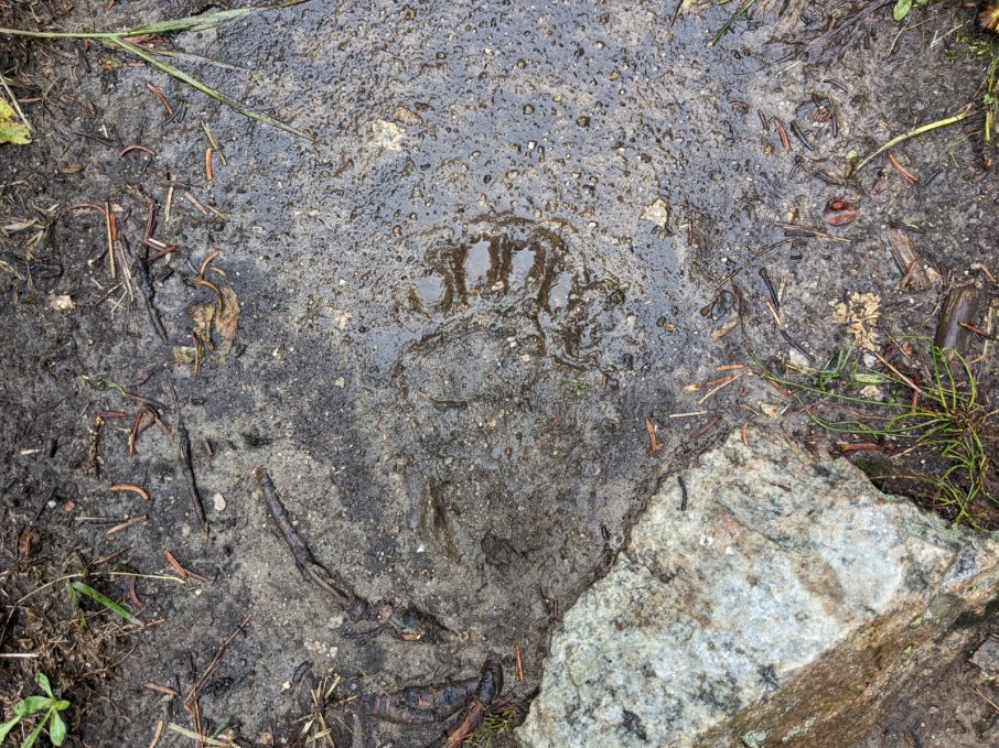
A storm hit and pelted us with rain and snow. We took cover in a stand of trees until the worst of it had passed. Then we stumbled across this bear track. About ten minutes later we saw the little guy scrambling up the mountainside.
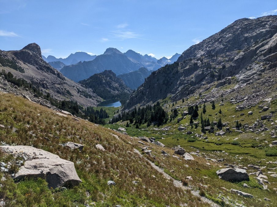
Peak Lake, the headwaters of the Green River.
Day 3
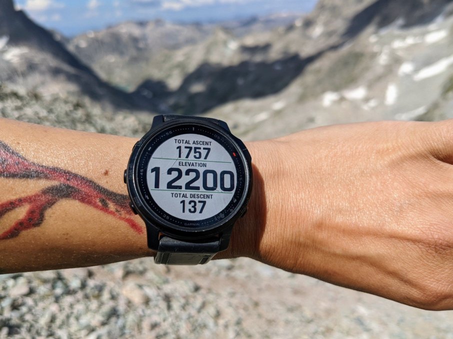
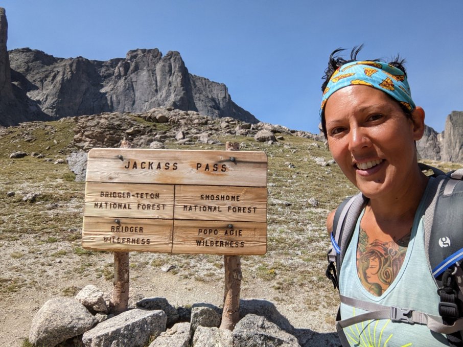
Knapsack Col, the highest point on our trip. Going up it was tough, but down was way tougher. At least for the guys. I slid down some snow and saved 20 minutes of picking my way down a steep, gravely slope.
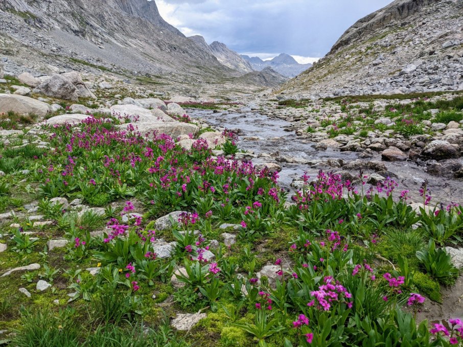
At the high elevations the flowers still think it’s spring.
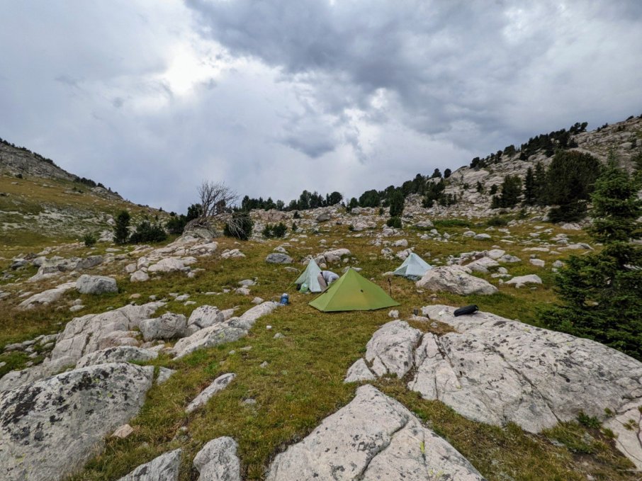
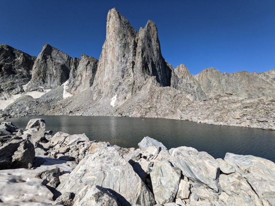
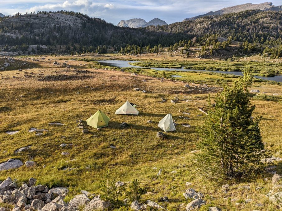
We had some choice campsites on our trip.
Day 4
Resupply day! Dennis arranged for an outfitter to bring us our next 5-6 days worth of food. While we waited, I did some fishing.
Resupply day was supposed to be a zero day, but we decided to put in a few miles to give us a better chance of finishing on Saturday.
Day 5
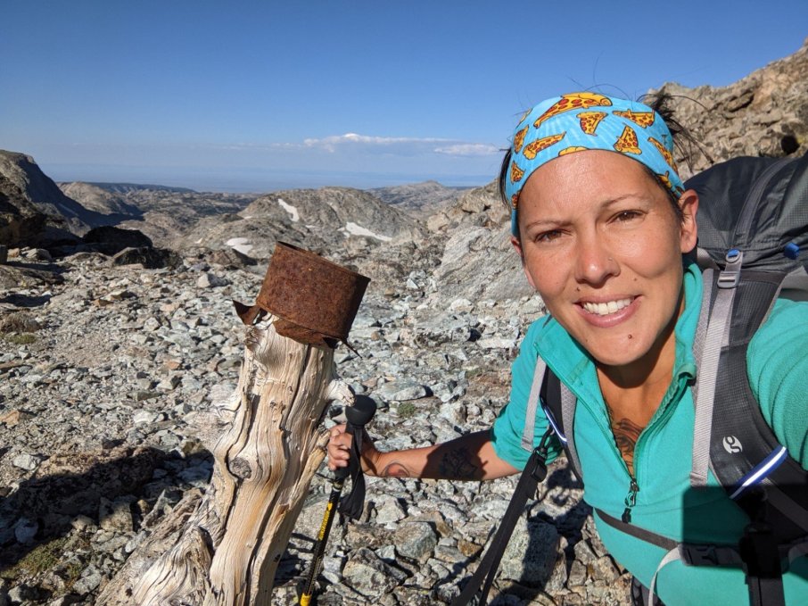
Naturally a tin cup on a log marks the Continental Divide. And I want to know where they got that log since there were no trees up there…
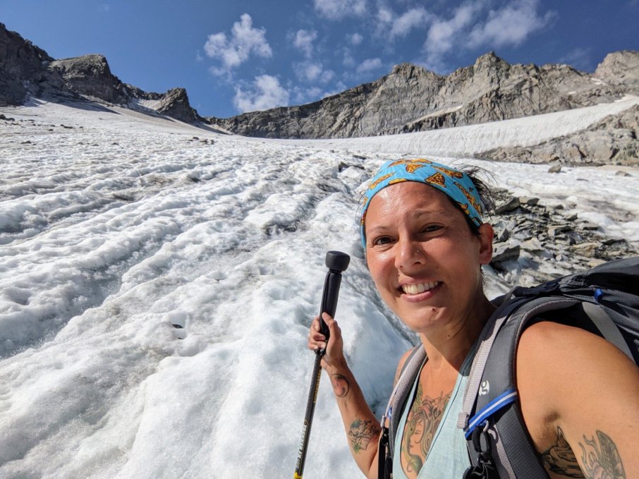
I meant to put my microspikes in with the resupply for when we crossed Knife Point Glacier, but I forgot. Luckily, I was fine, and I made it across the glacier way faster than Dennis and Carl, and they had microspikes!
Yeah, I crossed that bad boy in trail runners.
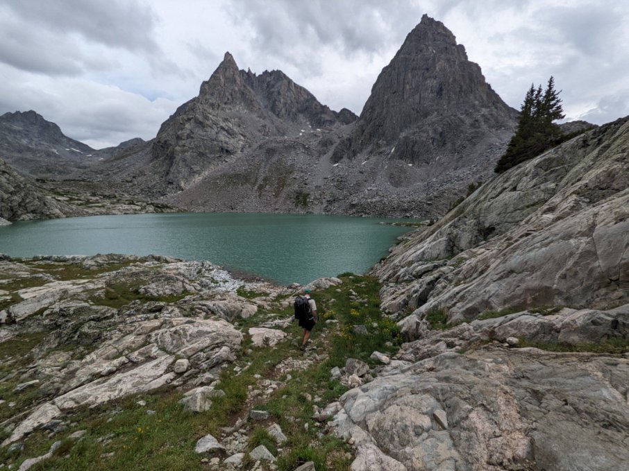
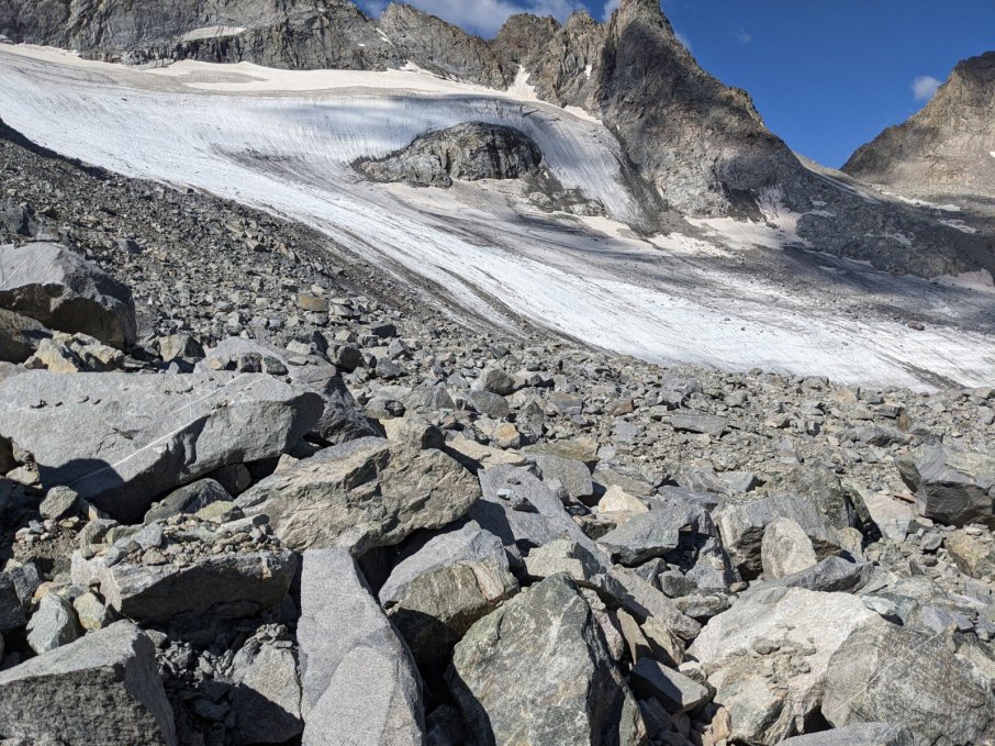
Alpine Basin. Nothing but rocks. And by rocks I mean boulders. A hail storm hit us on the ridge while we were making our way along the lake.
Alpine Basin was slow going and put us behind schedule. See that peninsula in the lake? We camped on it!
Day 6
Camp Lake. That’s where we were hoping to get the night before.
Carl was our fearless leader for most of the trip.
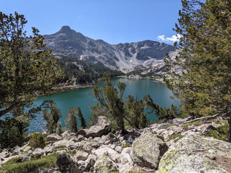
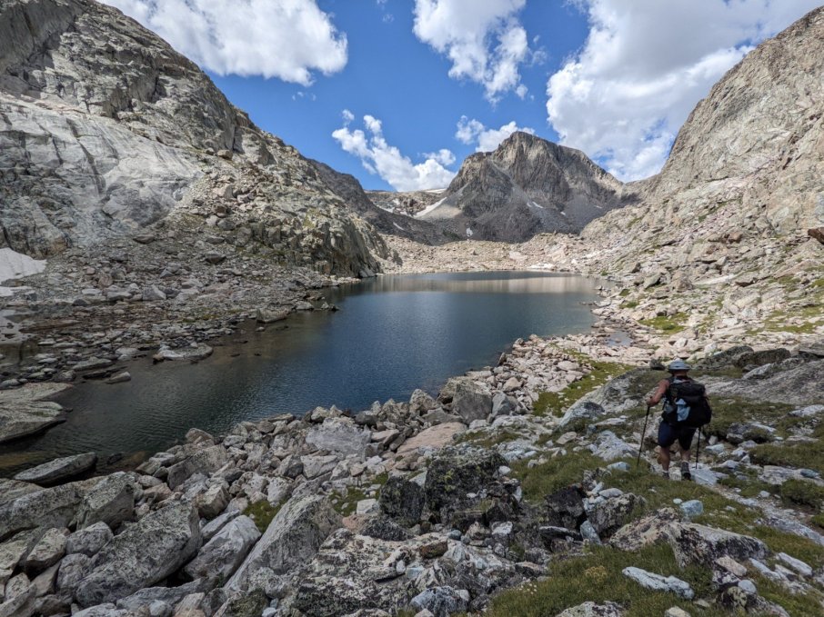
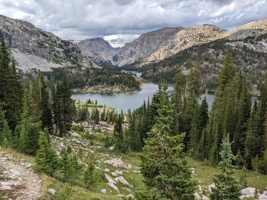
Dennis joked that I took a picture of every lake we passed. He probably wasn’t wrong!
Yeah, Dennis was probably right. But how could I resist those views!
Even with the clouds and rain, I wouldn’t trade this view for warm bed in suburbs. Ever.
Day 7
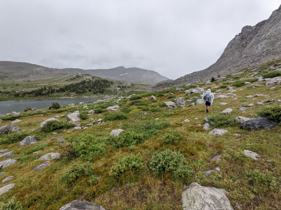
Our day started off raining and cold. I found myself smiling and thinking, “Any asshole can hike the high route on a sunny day.”
The beginning of a “shortcut” that was probably way worse than original route.
There were so many afternoon thunderstorms in the beginning of the trip I stopped putting on sunscreen. Then the afternoon storms stopped…
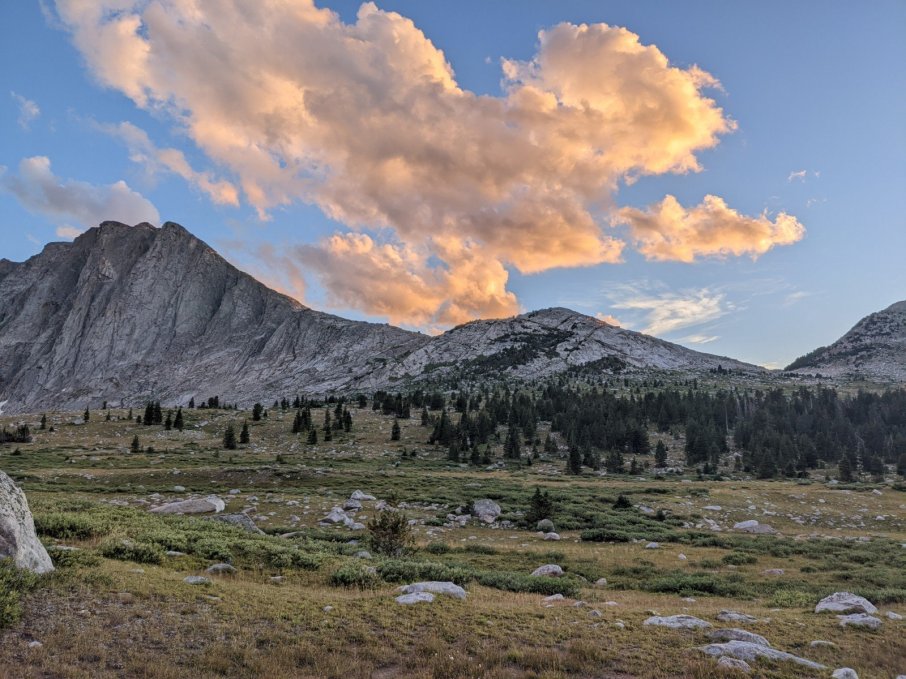
Appreciating the blue sky and setting sun.
Day 8
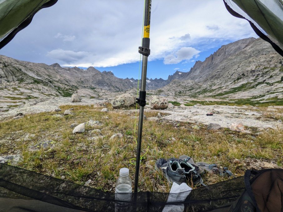
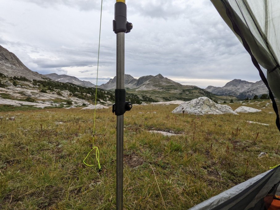
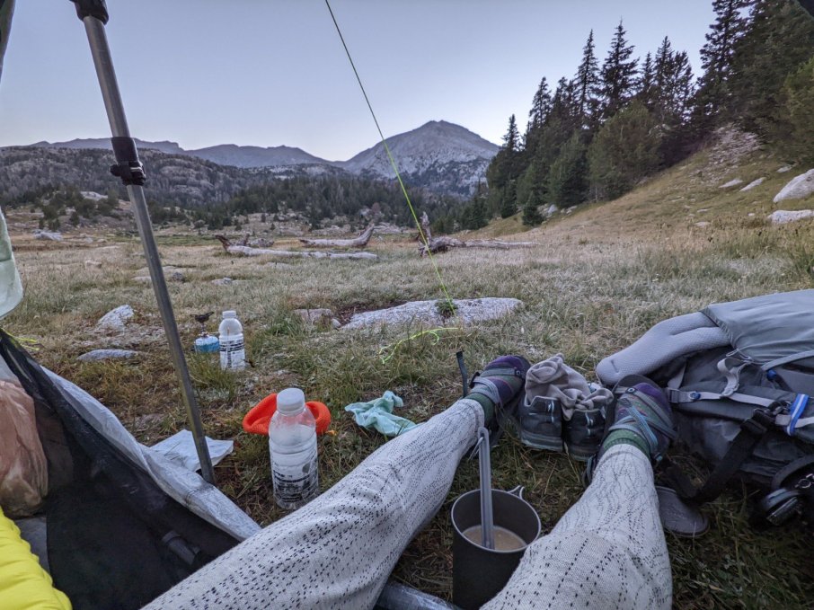
Sunrise at camp.
I will never get tired of the mountains.
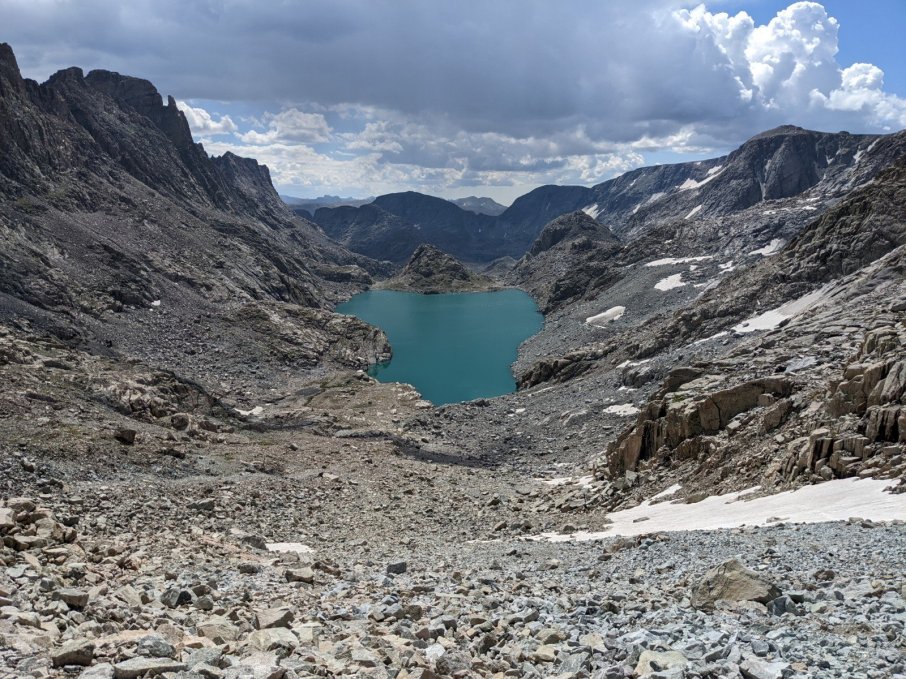
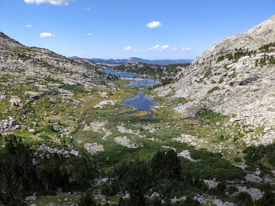
A little lake on the top of a ridge.
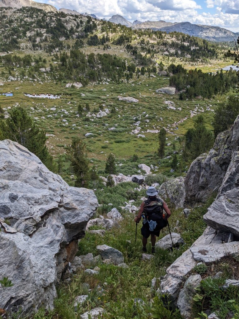
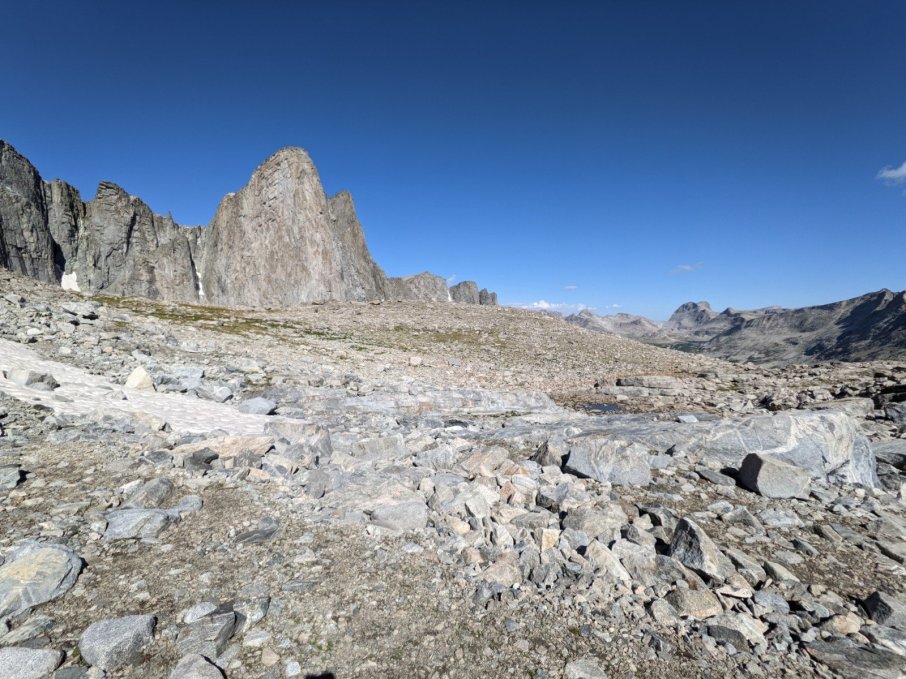
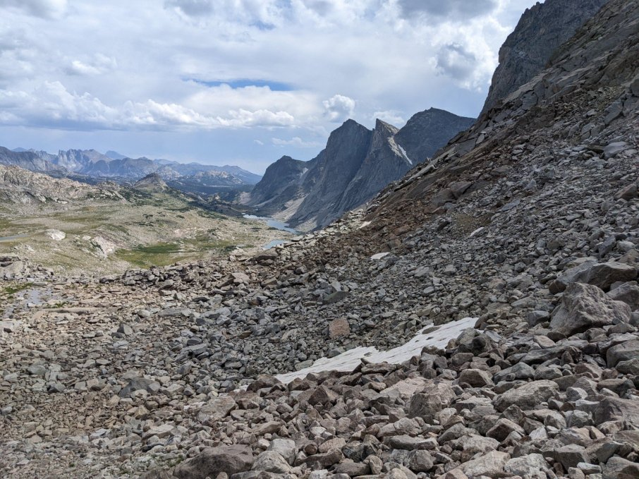
There were so many boulder fields along the High Route. At this point we were all sick of boulder hopping, but we had to do it anyway.
The scenery constantly left me in awe.
And more boulders.
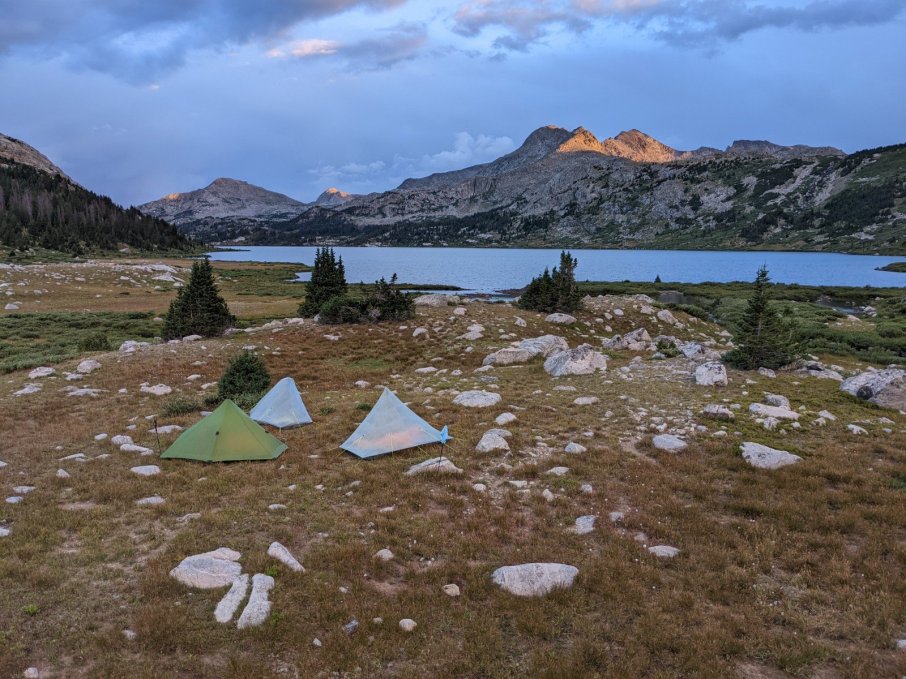
Our last campsite. I didn’t want the trip to end. I wanted to stay out there forever.
Day 9
My last morning waking up to a gorgeous view. Sigh.